Drone, LiDAR, and Laser Scanning
Photogrammetry and LiDAR were used to document the terrain, walls, and structures. The processed data produced digital terrain models and 3D visualizations for analysis and presentation.
Read the StudyThe documentation integrates field data, 3D models, geophysical surveys, and Web GIS visualization. Archaeological interpretations are based on published sources.
Photogrammetry and LiDAR were used to document the terrain, walls, and structures. The processed data produced digital terrain models and 3D visualizations for analysis and presentation.
Read the StudyGeoelectrical surveys were conducted near Skanderbeg’s Burial Site and the Upper Castle. Resistivity maps at different depths revealed anomalies of potential interest for archaeological research.
An anomaly alone does not confirm the presence of a wall or structure; archaeological verification in the field is required.
Methods and ResultsHistorical maps, field measurements, and thematic layers were organized in GIS. The Map Tour, 3D scenes, Atlas, and StoryMap make this documentation accessible for exploration.
Open the Applications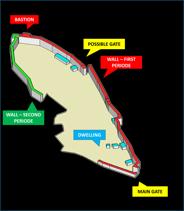
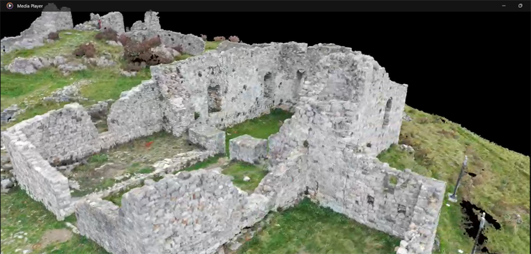
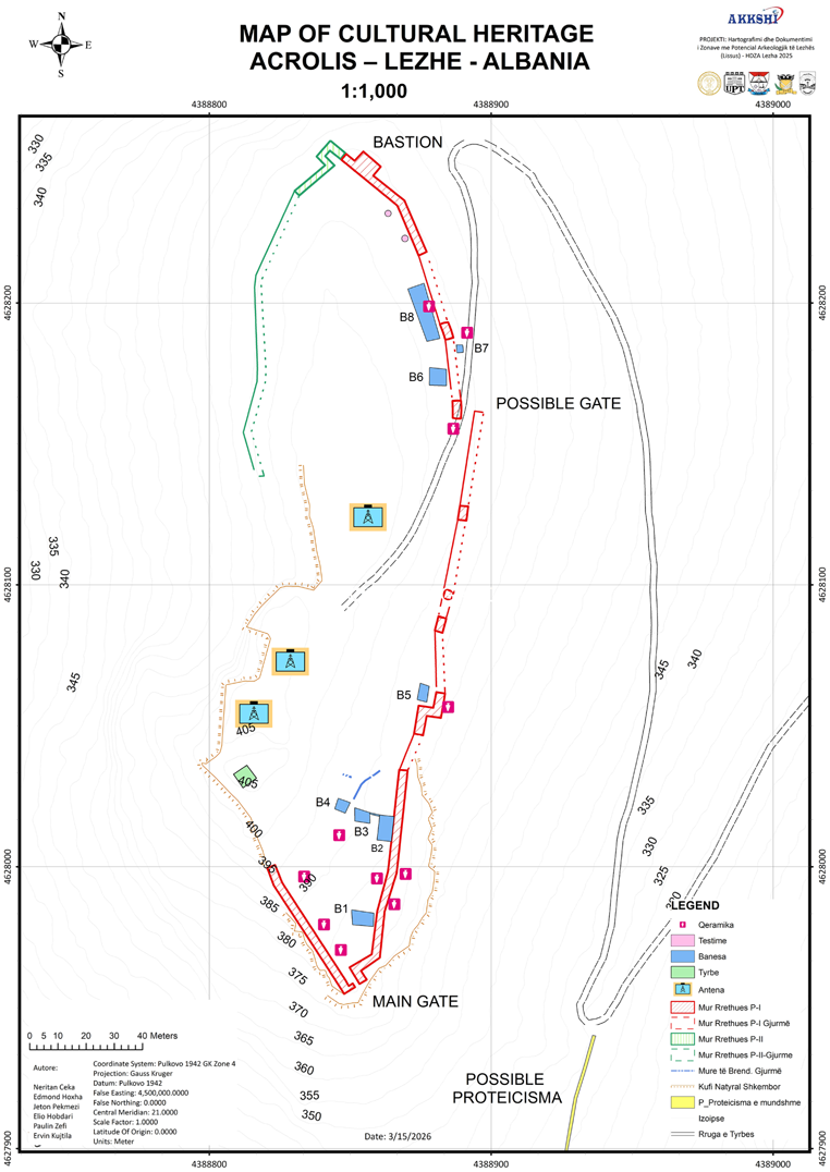
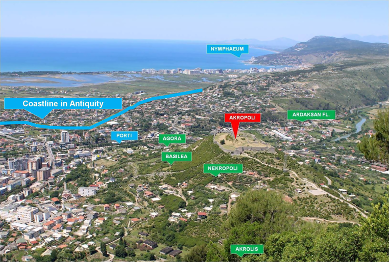
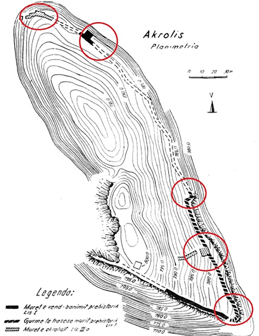
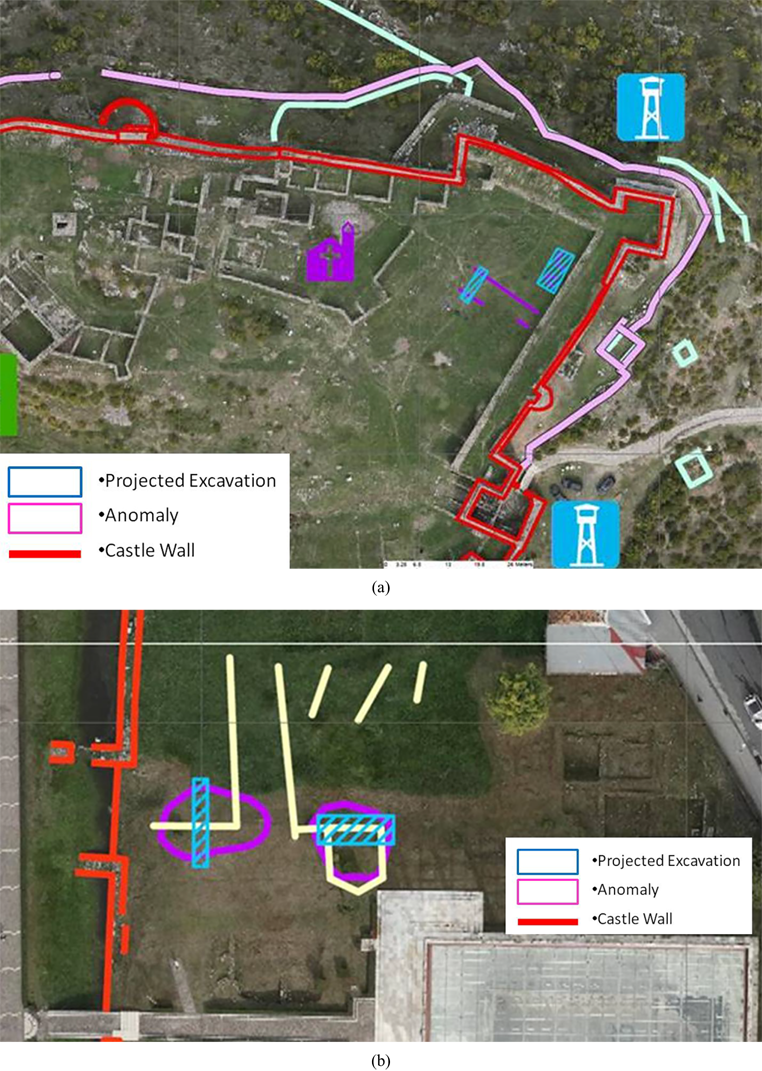
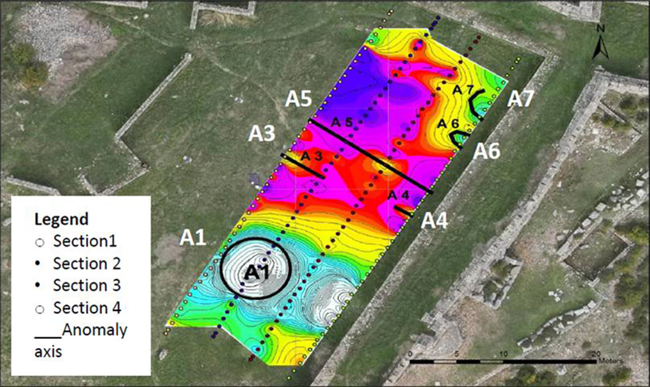
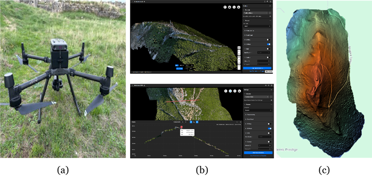
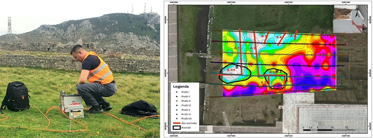
The chapter on Akrolissos and Lissus describes the surveying, data processing, and archaeological prospection, while the videos below present the 3D models of Lezhë Castle and Akrolissos.
Explore the digital documentation of Lezhë Castle and Akrolissos directly here.
Authors of the HDZA Lezha scientific publication. Affiliations follow the IntechOpen publication.
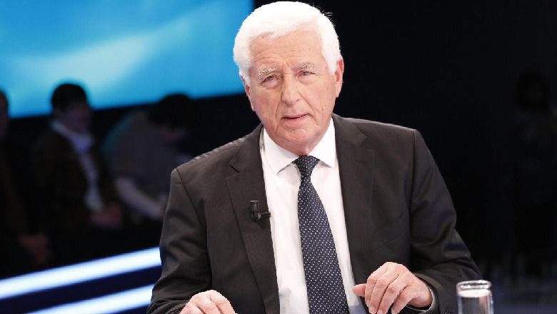
Scientific Advisor · Classical & Illyrian Archaeology · Cultural Heritage
Academy of Sciences of Albania · Permanent Commission of Archaeology
Prof. Dr. Neritan Ceka is a distinguished Albanian archaeologist and Professor of Classical Archaeology, specializing in Illyrian and Classical archaeology and cultural heritage. Within the Lissus 2025 project, he contributes his scientific expertise to the archaeological research, interpretation and documentation of ancient Lissus and its surrounding archaeological landscape. His extensive experience in the study of Albania’s archaeological heritage provides an important scientific foundation for the project and for the dissemination of its results through the Lezha Turistike digital platform.
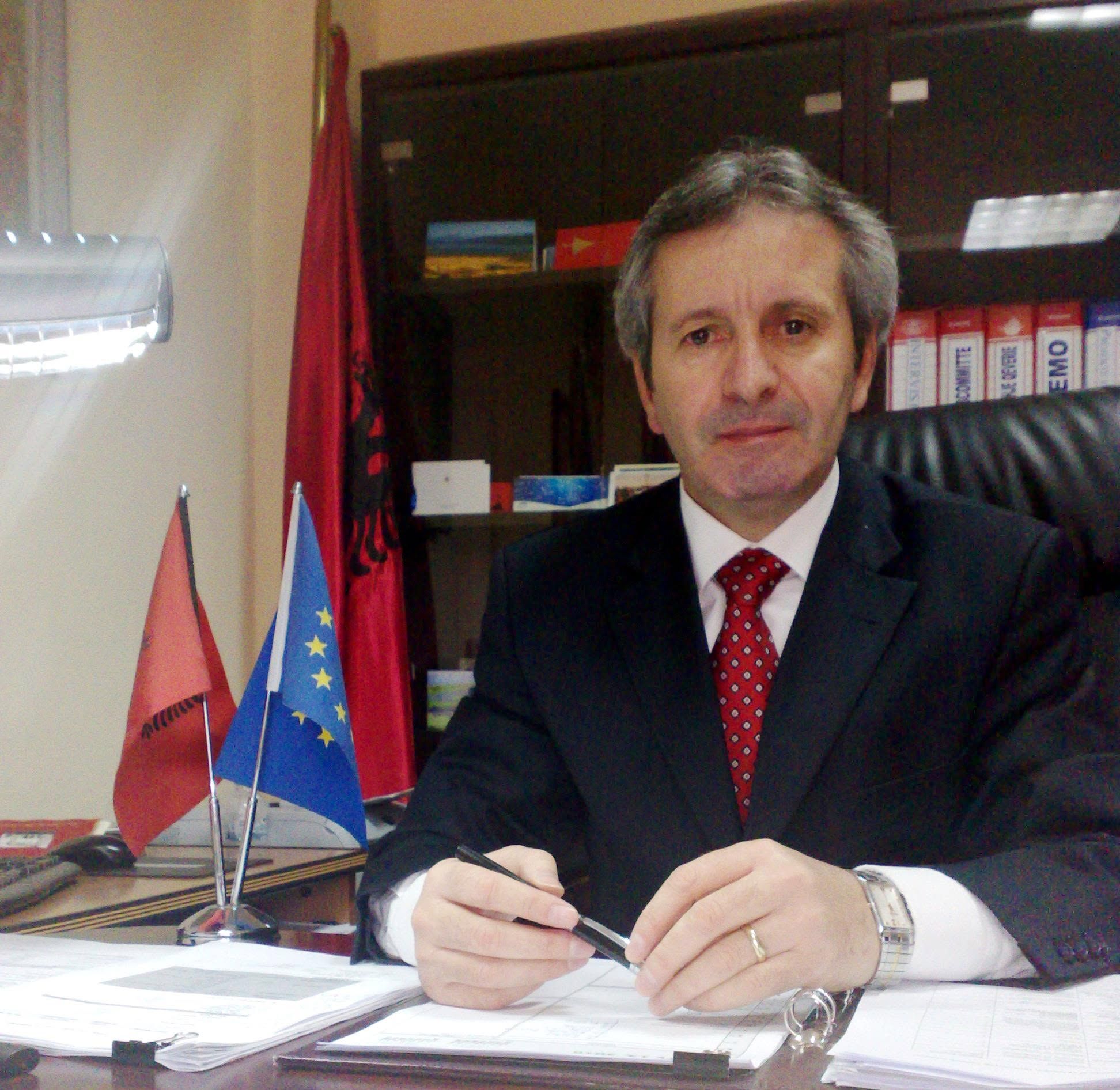
GIS & Geospatial Technologies Expert · Scientific Researcher · 3D Mapping & Modelling
Polytechnic University of Tirana · Faculty of Geology and Mining
Prof. Asoc. Dr. Edmond Hoxha is a GIS and geospatial technologies expert at the Faculty of Geology and Mining, Polytechnic University of Tirana. His academic and research activity focuses on Geographic Information Systems (GIS), digital mapping, spatial data modelling, drone technologies and 3D documentation. Within the Lissus 2025 project, he contributes his expertise in GIS and advanced geospatial technologies to the mapping, analysis and digital documentation of the archaeological landscape of ancient Lissus, supporting the integration of spatial data for research, documentation and cultural heritage management.
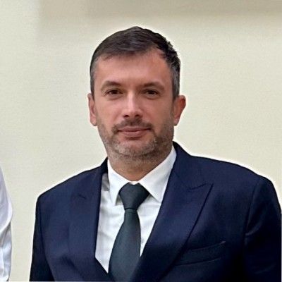
LiDAR & 3D Modelling Expert · Surveying · Photogrammetry · Virtual Reality
Polytechnic University of Tirana · Faculty of Geology and Mining
Dr. Jeton Pekmezi is a geospatial and surveying specialist affiliated with the Faculty of Geology and Mining, Polytechnic University of Tirana, with expertise in LiDAR, photogrammetry, surveying and 3D modelling. Within the Lissus 2025 project, he contributes to the acquisition and processing of high-resolution spatial data and to the 3D documentation and modelling of the monuments and archaeological landscape of ancient and medieval Lissus. His work supports the digital reconstruction, visualization and documentation of cultural heritage through advanced LiDAR, photogrammetric and virtual reality technologies.
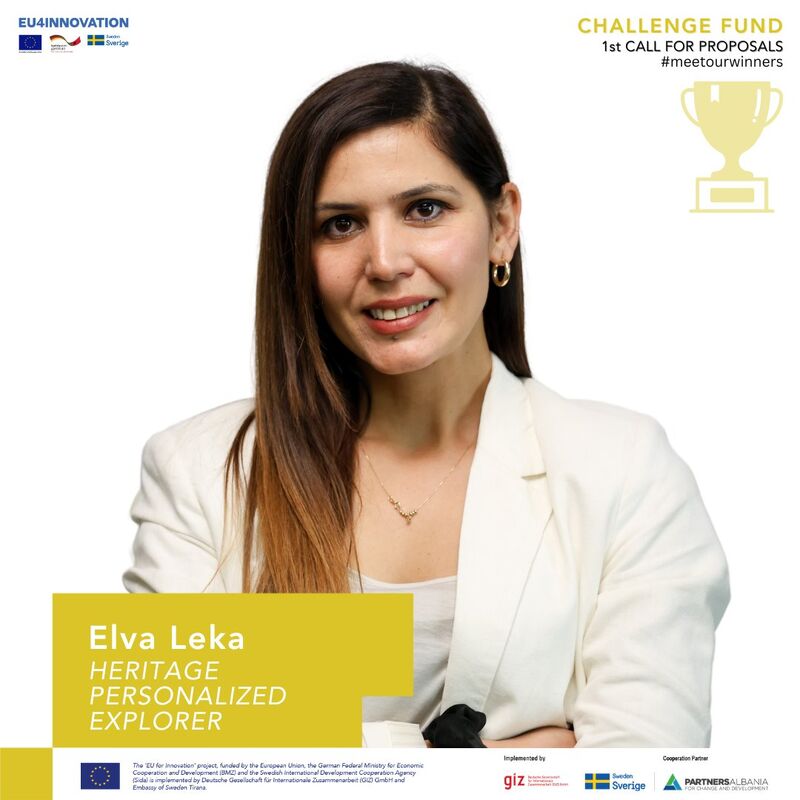
GIS & Geoinformatics · Spatial Data Processing · Scientific Computing
Polytechnic University of Tirana · Faculty of Geology and Mining · Department of Applied Geology and Geoinformatics
Dr. Elva Leka is a lecturer and researcher at the Faculty of Geology and Mining, Polytechnic University of Tirana, with expertise in GIS, geoinformatics, spatial data processing and scientific computing. Her research interests include data processing, simulation and modelling tools and the application of digital technologies in geospatial research. Within the Lissus 2025 project, she contributes to the GIS- and WebGIS-based mapping and digital documentation of the archaeological site, supporting the processing, organization and integration of spatial data for archaeological research and cultural heritage documentation.
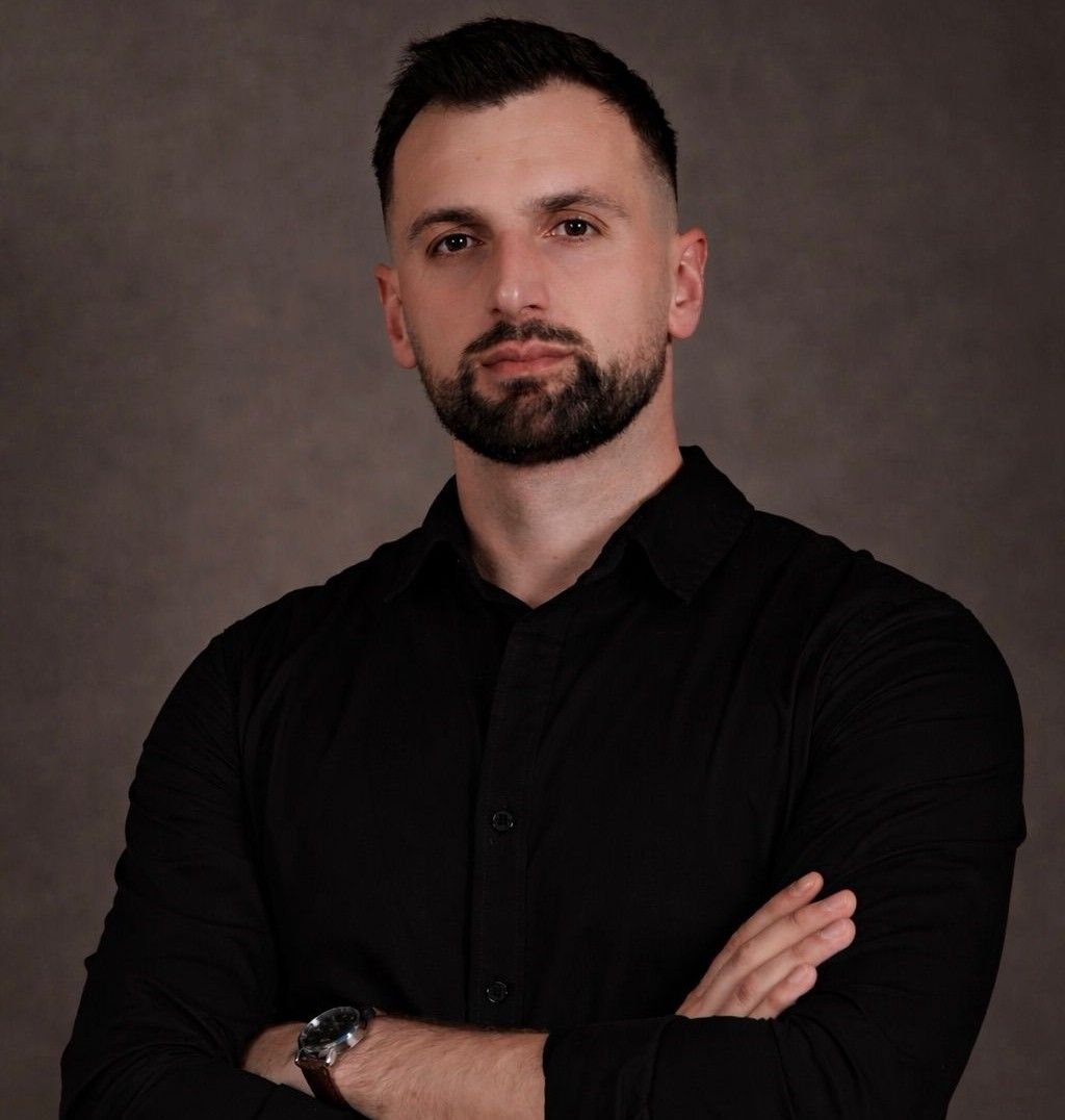
Geoinformatics Engineer · GIS & WebGIS Developer · Web Developer · Remote Sensing Specialist
State Authority for Geospatial Information (ASIG), Albania
MSc. Erland Alla is a Geoinformatics Engineer specializing in GIS, WebGIS, remote sensing, satellite imagery processing, spatial analysis and web development. He works as a Senior Satellite Imagery Processing Specialist at the State Authority for Geospatial Information (ASIG) of Albania. Within the Lissus 2025 project, he contributes to GIS-based archaeological mapping, spatial data processing, digital heritage documentation and the development of WebGIS applications. His contribution also includes the design, programming and technical implementation of the Lezha Turistike web platform, integrating geospatial, archaeological, research and multimedia content into an interactive digital environment.

Applied Geophysics Expert · Geophysical Prospection · Electrical Resistivity
Polytechnic University of Tirana · Faculty of Geology and Mining · Department of Earth Sciences
Altin Karriqi is a geophysicist and lecturer at the Faculty of Geology and Mining, Polytechnic University of Tirana. His academic and professional activity focuses on applied geophysics, geophysical exploration, electrical resistivity, induced polarization and seismic investigations. He has extensive experience in field surveys, geophysical data processing and interpretation for geological, geotechnical and environmental studies. Within the Lissus 2025 project, he contributes his expertise in geophysical prospection and non-invasive subsurface investigation to support the identification and interpretation of potential archaeological structures.
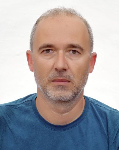
Archaeologist · Late Antique & Medieval Archaeology · Early Christian Heritage
Academy of Sciences of Albania · Institute of Archaeology
Dr. Elio Hobdari is an archaeologist and researcher at the Institute of Archaeology, Academy of Sciences of Albania. His research focuses on Late Antique, Early Christian and Medieval archaeology, with particular attention to religious architecture, archaeological monuments and cultural heritage. Within the Lissus 2025 project, he contributes his archaeological expertise to the research, interpretation and documentation of the ancient and medieval heritage of Lissus, supporting the scientific analysis and contextualization of archaeological evidence.
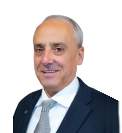
Geophysics Expert · Electrical Resistivity & Induced Polarization · Geophysical Prospection
Polytechnic University of Tirana · Faculty of Geology and Mining
Prof. Dr. Përparim Alikaj is an experienced geophysicist and university professor specializing in applied and exploration geophysics. His scientific and professional activity focuses particularly on electrical resistivity and induced polarization (IP) methods for subsurface investigation. He has extensive international experience in geophysical exploration and has served as Head of the Geophysics Group at the Faculty of Geology and Mining, Polytechnic University of Tirana, as well as Chief Scientist at Quantec Geoscience Ltd. Within the Lissus 2025 project, his expertise supports non-invasive geophysical prospection and the identification and interpretation of potential subsurface archaeological structures.
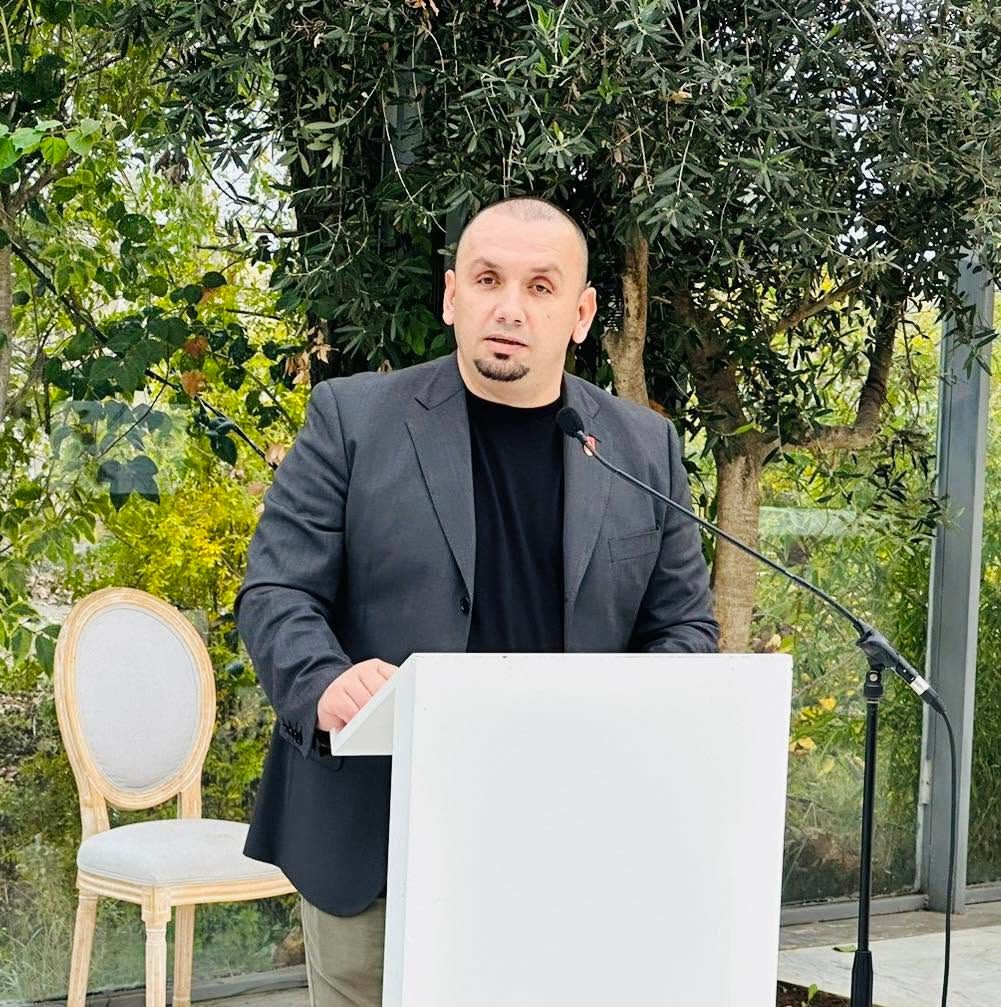
Cultural Heritage Specialist · Local History Researcher · Archaeological Activities Coordinator
Municipality of Lezhë · Cultural Heritage Sector
Paulin Zefi is a cultural heritage specialist and researcher of the history and archaeology of Lezhë. His work focuses on the identification, documentation, interpretation and promotion of the region’s archaeological, historical and cultural heritage. Within the Lissus project, he is responsible for archaeological activities and contributes his extensive knowledge of the historical landscape, monuments and archaeological sites of Lezhë. His research and field documentation support the historical and archaeological interpretation of ancient Lissus, Akrolis and the wider cultural landscape of the region.
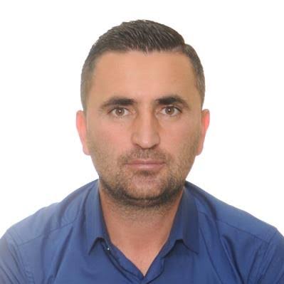
Archaeologist · Prehistoric Archaeology · Prehistoric Fortifications
Academy of Sciences of Albania · Institute of Archaeology
Dr. Ervin Kujtila is an archaeologist and researcher at the Institute of Archaeology, Academy of Sciences of Albania. His research focuses on prehistoric archaeology, with particular expertise in prehistoric fortifications, archaeological surveys and field excavations. He has participated in and co-directed archaeological investigations at several sites in Albania, particularly in the Shkumbin Valley. Within the Lissus 2025 project, he contributes to the archaeological research, field investigation and scientific interpretation of ancient Lissus, supporting the study of its fortification systems and early phases of settlement and urban development.
Gjeoinformatikë / dokumentim teknik
Polytechnic University of Tirana · Faculty of Geology and Mining
Source of authorship and affiliations: the project’s scientific chapter, IntechOpen, 2026.
The project “Mapping and Documentation of Areas with Archaeological Potential in Lezhë (Lissus)” brings together scientific research and local institutions.
 National Agency for Scientific Research and InnovationZBATUES
 Academy of Sciences of AlbaniaCommission of History and ArchaeologyZBATUES
 Polytechnic University of TiranaFaculty of Geology and MiningZBATUES
 Municipality of LezhëZBATUESInstitute of ArchaeologyResearch Institution in the Field of ArchaeologyZBATUESRegional Directorate of Pre-University Education of Lezhë